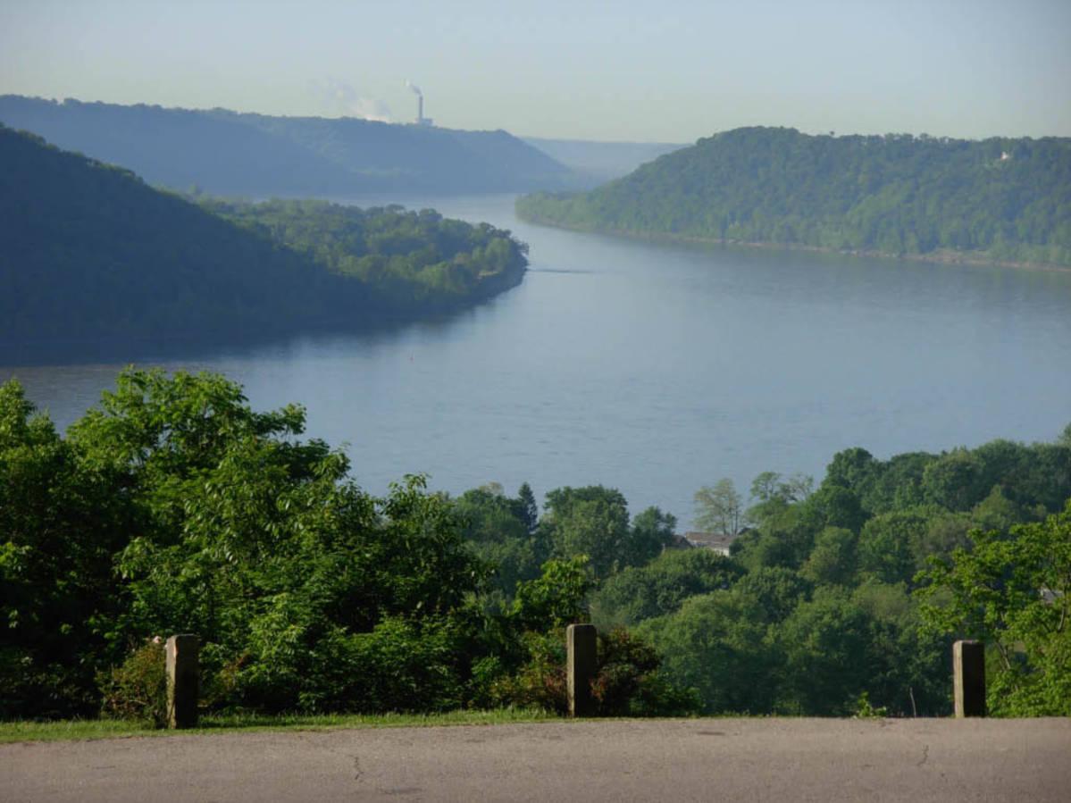
Unnamed Settlement
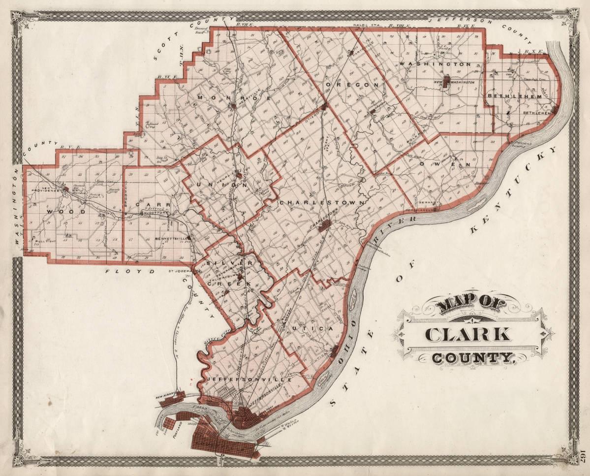
This unnamed settlement, which was located along Utica-Sellersburg Road in Watson, is one of two known settlements in Clark County, Indiana. Clark County had a high population of Black Americans in the early- to mid-19th century. Slave owners navigated around the prohibition against slavery in the area by forcing enslaved people into indentured agreements in Kentucky, which was just across the river, before crossing to Indiana. Through these agreements, people were typically required to work without pay for a number of years to repay a debt. These agreements, however, could be extended indefinitely as punishment for breaking a law. There were 40 free people of color and 81 enslaved people in Clark County in 1810. By 1870, Clark County’s Black population included 1,970 individuals.
The village of Watson, where this settlement was located, was originally intended to be additional housing for relocated mill-workers. Watson was one of the only areas in Utica Township without sundown laws, laws that required Blacks to leave the city limits before the sun set. If Black people remained in areas with these laws, often called sundown towns, past sunset, they were threatened with legal consequences, violence, or worse. Watson was known as “a harboring place for them [African Americans] in considerable numbers” because it was not openly hostile to Black citizens. Unlike other areas covered in this tour, where individuals primarily worked as farmers on their own land, it was more common for Black citizens of this unnamed settlement to work as laborers for farms or other businesses. One of the only Black residents to own his own farm was Lowry Straws. Lowry’s personal holdings were valued at around $1,000.
Images